HISTORY OF MAP MAKING
Today students will continue on their island activity for the Cartographer project. In addition, we will watch the West Wing episode regarding the use of the Mercator Projection vs the Peterson Projection.
Students will be given an opportunity to compare the two maps and draw conclusions regarding their differences. In addition students will get the "early Map making article and will be given time to read and complete the questions to further their understanding of the history of Cartography.
OBJECTIVES:
-Given a first hand account of an explorer visiting a new land, students will be able to draw to scale a accurate depiction of the island, place it within the stated lines of Latitude and Longitude and describe the appropriate vegetation and animal life that would occur on such an island.
-Given an article describing the early developments of Cartography, students will be able to accurately analyze and answer text dependent questions to demonstrate understanding of the articles content.
Mercator vs Peters
West Wing on Mercator vs Peters - (watch the video)Mercator vs Peters Projections -website animation - (watch the animated debate)
Original "Blue Marble" picture taken from the moon - (Orientation?)
Reading Assignment on Early Map Making
Early Map Making article - (Article and Questions)Early Map Making article - (Student answer sheet)
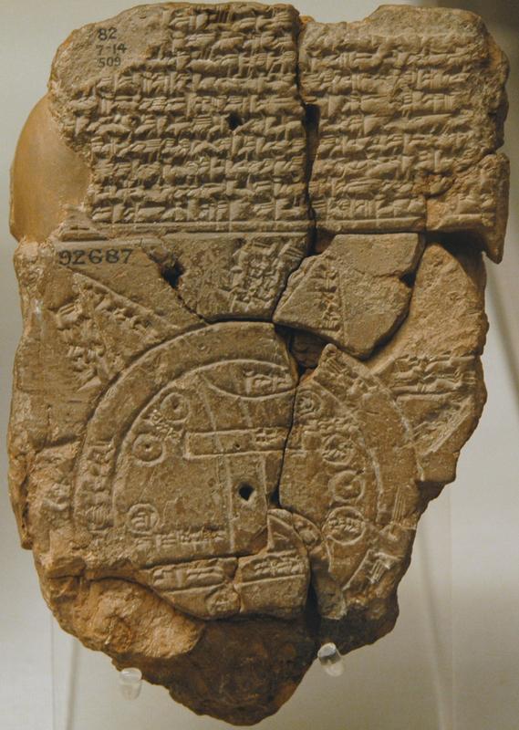 |
| Oldest Known Map |
 |
| Ptolemy's world map |
No comments:
Post a Comment